Geography suits the Wordle format better than any subject except words. A map gives feedback for free: every wrong answer is still somewhere, and somewhere has a distance and a direction from the right one. That is why Worldle, arriving a few weeks after Wordle went viral, felt less like a copy and more like the format finding a second home.
The best daily geography games for most people are Worldle, which shows you a country's outline, and Globle, which colours a globe hotter as your guesses get closer. On Alldle the most played geography games, as of October 2026, are GeoQuest, Chartle, Flagle and Travle, in that order. The catalogue lists 137 daily geography games in all, and the twenty below each test a different skill.
Every name links to its page on Alldle, with the rules and a way through to the game itself.
How these were picked
Each game here is free, plays in a browser without an account, and gives everyone the same puzzle on a schedule. That rule is why GeoGuessr's daily challenge is missing: it asks you to sign in first. Beyond that, the aim was range. A list of twenty flag quizzes would be accurate and useless, so each pick had to test something the others don't.
If you only try two, start with Worldle and Travle. If you want the hardest, go straight to Reborder.
The twenty at a glance
| Game | What you are finding | Type |
|---|---|---|
| Worldle | A country, from its outline | Shapes |
| Statele | A US state | Shapes |
| Country Draw | A country, drawn on a real map | Shapes |
| Reborder | The border between two neighbours | Shapes |
| Globle | A country, by distance | Hot and cold |
| Countryle | A country, from its facts | Hot and cold |
| Travle | A route between two countries | Borders |
| WhichWay | The direction from one country to another | Directions |
| Flagle | A country, from part of its flag | Flags |
| Flagdle | A country, from its flag | Flags |
| Flagdoku | Flags that fit a grid | Flags |
| GeoGrid | Countries that fit a grid | Grids |
| GeoConnections | Places that share a theme | Groups |
| GeoQuest | Today's countries on a world map | Pins |
| MapTap | Five cities on a map | Pins |
| TimeGuessr | The place and year of a photo | Photos |
| Landmarkd | A landmark, seen up close | Photos |
| Whenere | Where and when an event happened | Events |
| Chartle | A country, from a dataset | Data |
| OEC Tradle | A country, from its exports | Data |
Which games test country shapes?
Worldle is the one that started it. You see a country's silhouette and get six guesses, and after each wrong one it tells you how far off you are and which way to look. Once you have the answer, optional bonus rounds ask more about the same country, its flag and capital among them.
Statele comes from Worldle's maker and does for the fifty US states what Worldle does for countries. It is a good one for anyone who can name every country in Africa but hesitates somewhere between Iowa and Nebraska.
Country Draw asks you to sketch a hidden country straight onto a real map, rather than recognise its outline. It is a quick lesson in how vague your mental picture of most borders really is.
Reborder shows two neighbouring countries on a blank map and asks you to redraw the line between them. Easy for France and Spain. Less so in Central Asia.
Hot and cold
Globle has no silhouette and no clues. You name any country and the globe colours it by distance from the answer, pale when you are far away and deep red when you are close. Guesses are unlimited, so at first it rewards patience more than knowledge.
Countryle asks you to name a hidden country from facts rather than colours. Every guess comes back with hemisphere, continent and average temperature compared with the answer's, and you reason your way in from there.
Which games test borders and directions?
Travle gives you two countries and asks for the chain of neighbours that connects them, in as few guesses as possible. It tests something school geography rarely asks about, which is knowing which countries actually touch.
WhichWay is ten quick rounds of a single question. From this country, in which direction does that one lie? It sounds trivial until the answer turns out to be north-east when you were certain it was east.
Flags
Flagle reveals a flag a piece at a time, so your early guesses are educated hunches about colours and stripes. It is among the most played games on Alldle.
Flagdle gives you six chances to name a country from its flag, which is harder than it sounds once you reach the red and white ones.
Flagdoku puts flags into a grid, where each one has to satisfy both the rule for its row and the rule for its column.
Grids and groups
GeoGrid is a three by three grid. Every square needs a country that fits both its row and its column, with conditions about borders, flags or the letters in a name. Rarer answers score better, so the obvious pick is seldom the best one.
GeoConnections borrows the Connections format and fills it with geography: sort the squares into groups that share a theme, and try not to fall for the decoys.
Pins on a map
GeoQuest names today's countries and asks you to find each one on a world map. It is the most played geography game on Alldle at the time of writing.
MapTap names five world cities and asks you to click as close to each one as you can. It is the quickest game on this list and the one most likely to send you to an atlas afterwards.
Photos, places and dates
TimeGuessr shows you a photograph and asks where and when it was taken, scoring you on both. Cars and shop signs do most of the work. Alldle files it under history, since the year counts as much as the place.
Landmarkd shows a famous landmark from so close that you can't place it at a glance.
Whenere works from events rather than pictures. You are told what happened and have to say where, and when.
Which geography games use real data?
Chartle shows a chart built from a real dataset with one country highlighted, and you name the country. It is a sneaky way to learn which nations top which tables, and the second most played geography game on Alldle.
OEC Tradle is the Tradle most people know, built on export data from the Observatory of Economic Complexity. It shows what a country exports, drawn as a treemap, and asks which country it is. Once you learn that one enormous block usually means oil, you are halfway there.
Which ones to play every day
If you want a habit rather than a list, two games cover most of it: Worldle for shapes and Travle for borders. Add MapTap on days with five spare minutes, and keep the photo games for the weekend, when getting lost in them costs nothing.
The rest are in the geography category, sorted by what people play most, and games like Worldle ranks the closest matches to the original. New to all of this? What is a .dle game explains where the genre came from, and the games like Wordle list covers everything that isn't a map.
Questions people ask
- What is the best daily geography game?
- Worldle is the closest to Wordle and the usual starting point. Globle is the easiest to get into, because its guesses are unlimited. On Alldle the most played geography games are GeoQuest, Chartle, Flagle and Travle, so any of those is a safe next step.
- Are there daily geography games for the United States?
- Yes. Statele, from the maker of Worldle, does for the fifty US states what Worldle does for countries. StatesQuest widens the map to the whole of the Americas. The geography category on Alldle lists the rest.
- Which daily geography game is the hardest?
- Of these twenty, Reborder and Country Draw ask the most of you, because you have to produce a shape rather than recognise one. Travle gets hard on long routes, where one wrong neighbour sends you the long way round.
Games in this article
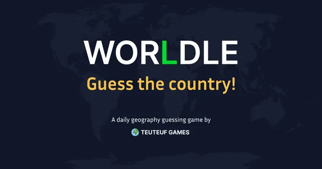 Worldle Geography Six guesses to name a country from its outline on the map.
 Statele Geography Clues and hints, round by round, until the US state is obvious.
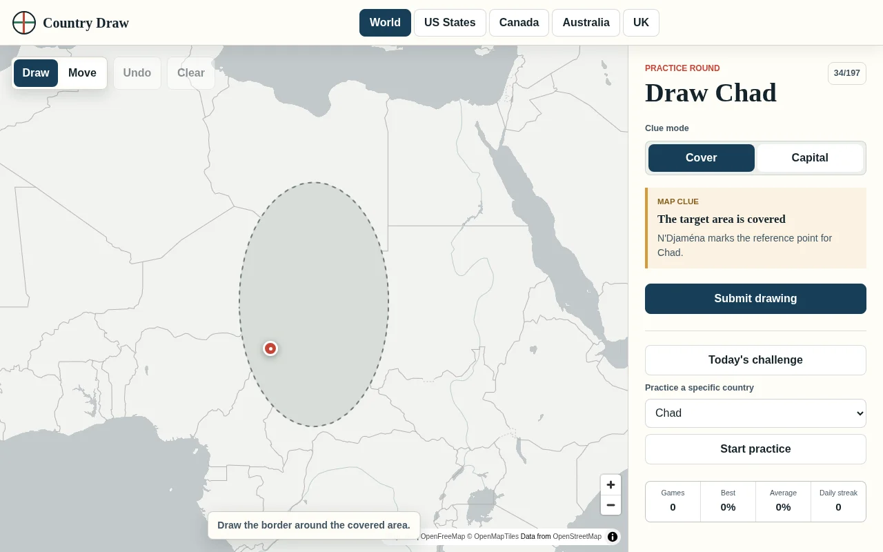 Country Draw Geography Sketch a hidden country or region straight onto a real map.
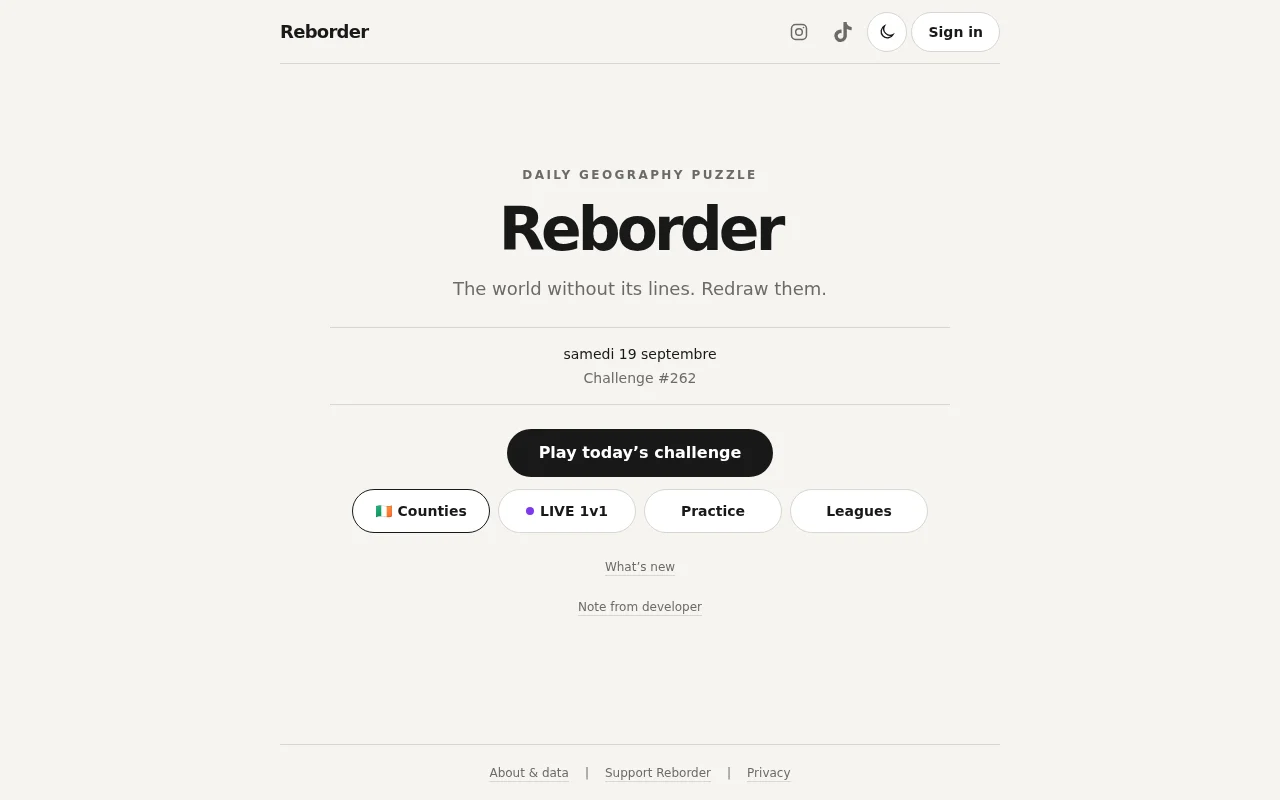 Reborder Geography Daily geography puzzle where you redraw the missing border between two neighbouring countries on a blank map, scored on how close your line is. Includes a daily challenge, practice mode, live 1v1 duels, leagues and an Irish counties variant.
 Globle Geography Unlimited guesses, one mystery country, and a globe that runs hotter as you close in.
 Countryle Geography Unlimited attempts, with hemisphere, continent and average temperature narrowing the country.
 travle Geography Navigate from one country to another using hints and country outlines to reach the destination.
 WhichWay Geography Determine which direction the target country is from the starting country, 10 rounds daily.
 Flagle Geography Parts of a flag appear as you go. Six guesses to name the country.
 Flagdle Geography Get 6 chances to guess a country based on their flag.
 Flagdoku Geography Match each flag to the criteria of its row and its column, and earn points for it.
 GeoGrid Geography A three-by-three grid where every square needs a country satisfying both its row and its column.
 GeoConnections Geography Group geography-related squares that share a common theme.
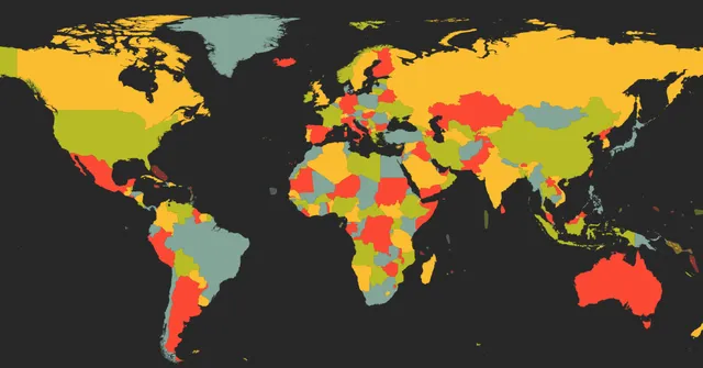 GeoQuest Geography Locate today's countries on the world map.
 MapTap Geography Click as close as you can to the given world cities, 5 rounds per day.
 TimeGuessr History Date a photograph from its visual clues and the history around it.
 Landmarkd Geography A landmark, zoomed in too far to place at a glance.
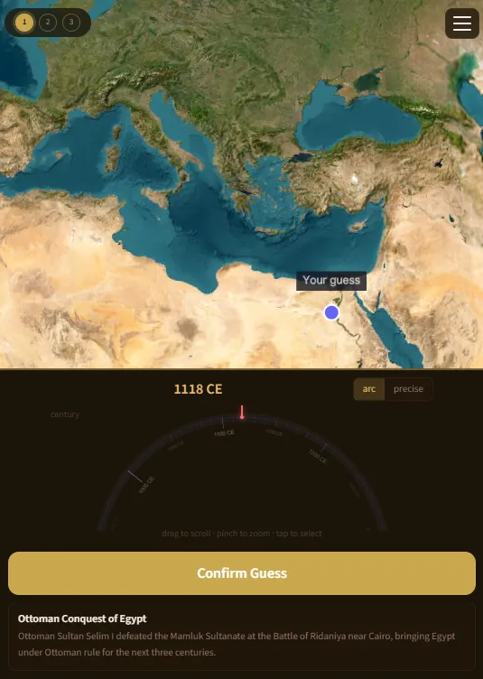 Whenere Geography Whenere is a daily trivia game where you have to guess where an event took place, and when. You get half the score for geo accuracy, and same for history. There are weekly themes, different types of events.
 Chartle Geography One country sits highlighted on a real dataset. The chart is all you get.
 OEC Tradle Geography Trade data and statistics, and the country they describe.